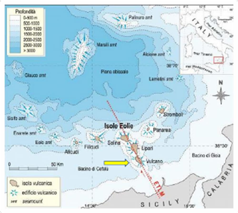
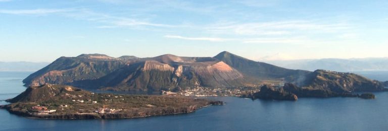
The island of Vulcano is located 20 km (12 mi) north of Sicily (picture 1) and is approximately 8 km (5 mi) long by 4 km (2 mi) wide. The island is 21 km2 (8 sq mi) in area and rises to 501 m (1,644 ft) above sea level.
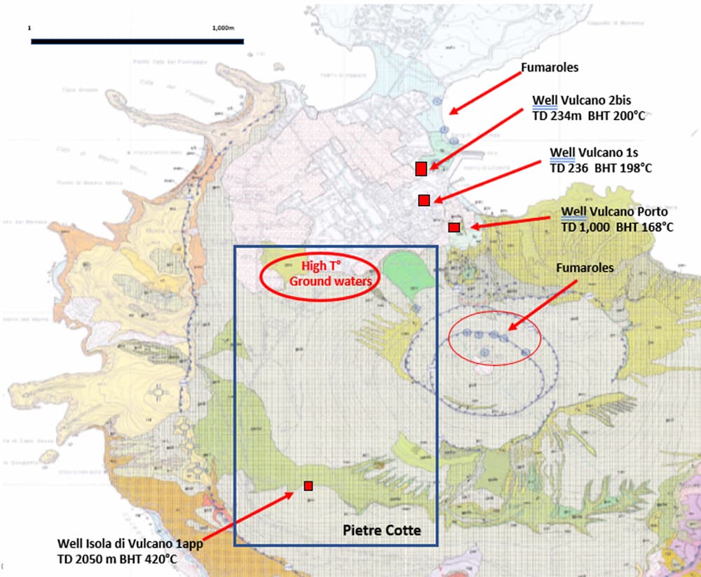
Four wells have been drilled on the island to date, one up to a total depth of 2050 meters, namely Vulcano 1app. The lithology consists of pyroclastics, andesitic lavas, trachy-andesitic lavas, volcanic breccias, and a metamorphic basement. During the 1980s, Agip collected resistivity, magnetometry, gravimetry, and satellite data, as well as offshore seismic lines around the island. The well Vulcano 1app reached a temperature of 420°C at a depth of 2050 meters, but there was no rock permeability. However, evidence of hydrothermal fluids contaminating the shallow aquifer north of the La Fossa volcano has been found.
Geolog, a sister company of Ignis H2 Energy, has been granted a geothermal exploration permit by the Sicily Region for the island of Vulcano. The permit Pietre Cotte covers an area of 2 km² and includes a two-phase work program. The licensed area has significant geothermal potential given the presence of deep-seated faults within the volcanic system that characterizes the island.
After seismic acquisition to determine the existing fault structure Ignis H2 Energy plans an exploratory well to further prove the geothermal resource.
The primary goal of the development is to generate enough geothermal energy to supply electricity to all the Aeolian Islands, eliminating the diesel power generation. By harnessing sustainable geothermal power, the project also aims to provide sufficient energy to potentially operate few desalination plants for the islands, reducing reliance on imported potable water. In the long term, the development of this geothermal resource has the potential to create a fully self-sustaining system, ensuring the islands energy and water need are met entirely through renewable sources, fostering environmental sustainability and energy independence.