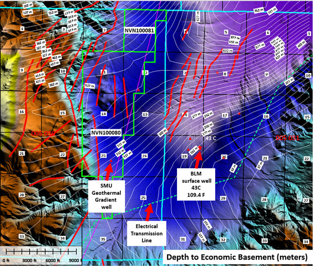

The Whiskey Flat goethermal area is an early-stage exploration prospect with promising geological and thermal characteristics in west-central Nevada. Northwest-striking faults in the Walker Lane curve to east-northeast orientations at the northern limits of the Mina deflection. This curve in strike results in the formation of ~685 m deep depression bounded by north-south convex to the east range-front faults that at the apex of fault curvature are bisected at a high angle by a structural stepover. There is a complex array of faults capable of developing with broadly contemporaneous displacements on all structures since the opening of the basin during the Pliocene. Whiskey Flat is an NNE trending valley rounded on the west by the Wassuk Range and on the east by the Excelsior Mountains and Garfield Hills. The structure of Whiskey Flat is dominated by the Wassuk Range Front fault system running roughly north-south along its western margin. Along the northern half of Whiskey Flat the zone is characterized by a single, steep, east-dipping, normal fault with a vertical displacement of several thousand feet. The southern half of Whiskey Flat is bounded to the west by a series of normal step faults, each with a displacement of several hundred feet. These step faults produce a benched typography along the range front and a series of offsets of the Quaternary volcanic/monzonite contact. Apparent fault scarps in the alluvium to the west of these benches indicate that the step fault system continues underneath the alluvium and probably dies out near the center of Whiskey Flat.
The Excelsior Range on the eastern boundary of Whiskey Flat has a moderate westward slope and shows no offsets of the Tertiary volcanic/monzonite contact. This indicates that the range is tilted toward the west with little or no faulting east of the center of Whiskey Flat. The only geothermal activity in the Whiskey Flat region is evidenced by the 240°C/km temperature gradient and high bottom hole temperature (42°C) found in the Whiskey Flat BLM well near the southern end of Whiskey Flat. Three irrigation wells with depths of approximately 120 meters produce water from shallow aquifers. The ground water level at these wells is approximately 20 meters below the surface. The ground water depth decreases to the north where it surfaces at Whiskey Springs. This could be due to a damning effect produced by faulted Tertiary volcanics at the northern terminus of Whiskey Flat. This aquifer is potentially masking thermal activity below the 120-meter level in the northern end of Whiskey Flat. The thermal anomaly of the Whiskey Flat BLM well may be explained by upward circulation of thermal waters along the stepped Wassuk Range Front fault system, which appears to extend eastward under the alluvium to the vicinity of the BLM well.
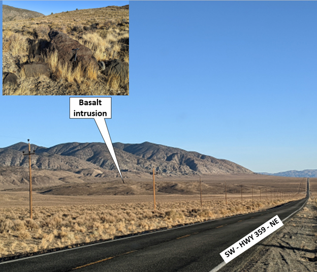
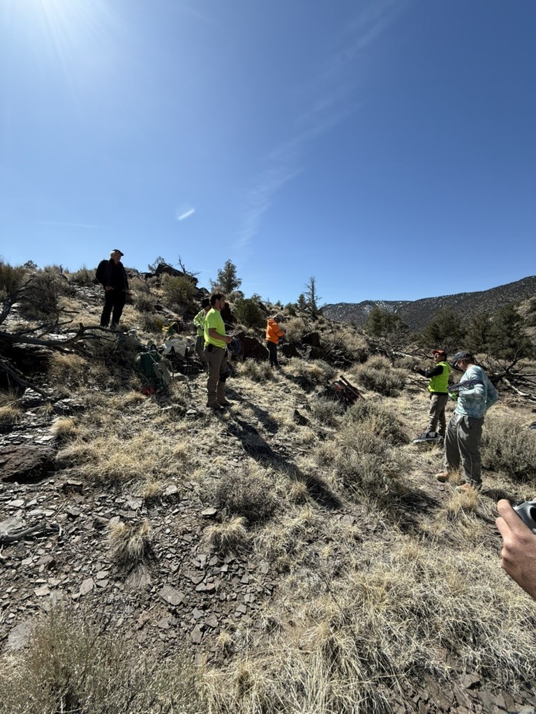
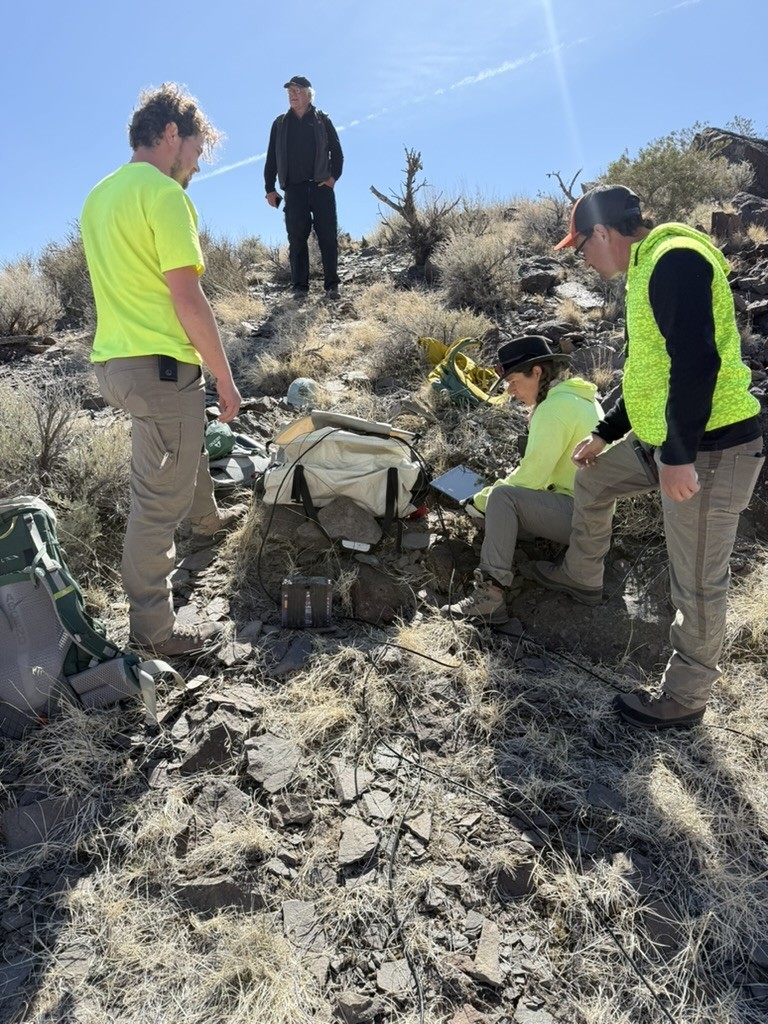
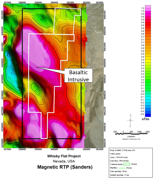
The Whiskey Flat Licenses held by Ignis Energy are dominated by a large basalt intrusion and possible prior vent. Heat flows of up to 224 C/km, have been measured on the site. Further geothermal gradient wells drilled in the area have confirmed the high geothermal gradient. This very high heat flow, along with the proximity of the project site to the very large displacement Wassuk Range Front Fault, indicates an active, fault-controlled hydrothermal system at shallow depth. A recent magnetotelluric survey by Ignis Energy in early 2025 included 107 stations for mappingsubsurface structure and boundaries of the basaltic intrusion. Shallow conductive units were found to exist along the margins of the basalt intrusion on the east side which may represent the same thermal unit in the BLM well to the east of the licenses.